
Start with your trip meter set to 0.0 at the Ripley County Historical Society Archives building on the Ripley County Courthouse Square in Versailles. Go south on Washington Street (trip meter 0.2) to U.S.50, turn right to U.S.421 at trip meter 1.3. Turn right. Go north through Osgood to the outskirts of Napoleon. At trip meter 10.8, turn left onto 850 N (the north facing side of this same sign reads “Michigan Rd”) The cemetery will be on your right. Go one block to Old Michigan Road and W Co Rd 850N. Turn right onto the gravel road behind the cemetery. Tour stop 1 will be located on your right (trip meter 11.0) before the cemetery gate.
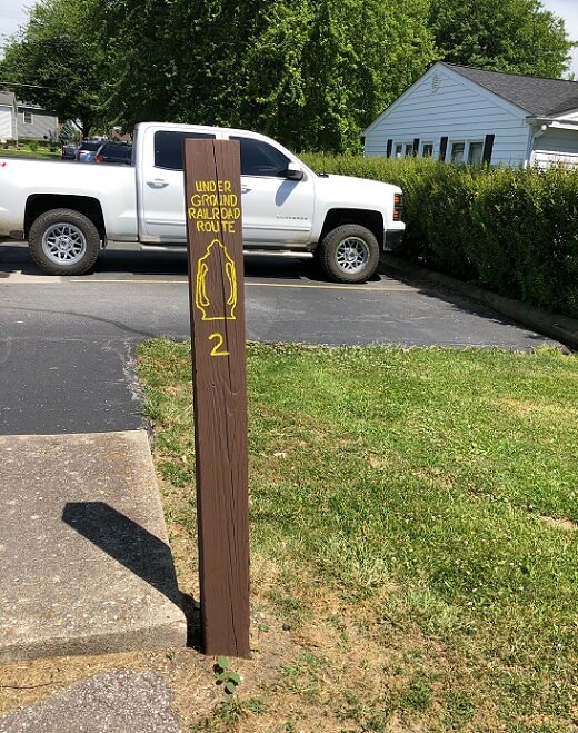
Tour Stop 1 (39° 11′ 57″ N 85° 19′ 53″ W)–Old Michigan Road: This is a section of the old Michigan Road that still looks like it did in the middle of the 19th century. Built in the late 1830s, this “super highway” connected Madison, Indiana, to Michigan. Drovers (travelers, some herding animals) used the many taverns along this route. The Michigan Road was the first place slave catchers and posses looked for runaway slaves.
>>Retrace your steps to return to U.S. 421. Carefully turn left onto U.S. 421. Tour Stop 2 will be located on your right (trip meter 11.45) at the southern corner of the Napoleon State Bank parking area.
Tour Stop 2 (39° 12′ 15.1″ N 85° 19′ 49.9″ W)–Red Ware Potters: Isaac Morris and his assistant Jacob Alexander were important Red Ware potters in Napoleon. The Morris shop was just behind the present Napoleon State Bank. You can see the hitching posts from this corner. Another early potter was Joseph Fittkau. A third potter, Andrew Schmehr had a kiln located in Section 21 one mile west of Napoleon on the Brownstown Road.
>>Continue north on U.S. 421 to trip meter 11.45, opposite Love’s Restaurant. Tour Stops 3 and 4 will be located on the right, in front of the porch for the CP Tavern. They will refer to the Love’s Restaurant building and to the large old flour mill to the north of it.
Tour Stop 3 (39° 12′ 17″ N 85° 19′ 49″ W)–“The Rail Road House” Hotel: The old tavern opposite was built before 1838. Purchased by two abolitionists, William Love and William Howe in 1852, it operated as a major Underground Railroad station. A secret cellar and tunnel were constructed leading from the north section of the building under the Michigan Road (U.S. 421). The south cellar opened to the rear. Love named the tavern “The Rail Road House” Hotel. The only railroad in Napoleon was the Underground Railroad.
Tour Stop 4 (39° 12′ 20″ N 85° 19′ 50″ W)–Barbara Fox, Lady Inventor: Swiss immigrant Jacob Fuch/Fox and his wife and five children moved to Napoleon in 1852 and purchased the Gigos property just south of the “Rail Road House” Hotel. One of the children, Barbara Fox, invented and patented a fire escape “designed to save lives.” In 1895 Miss Fox invited the people of Ripley County to test her device using the four-story J. F. Helmsath Flouring Mill (at the corner of U.S.421 and the Brownstown Road).
>>Go north on U.S.421 one half block and turn left onto the Millhousen Road to the Meadow Park Apartments at trip meter 11.6. Use the parking lot to carefully turn around and stop at the entrance next to the fire hydrant on your right. There you will see Tour Stop 5.
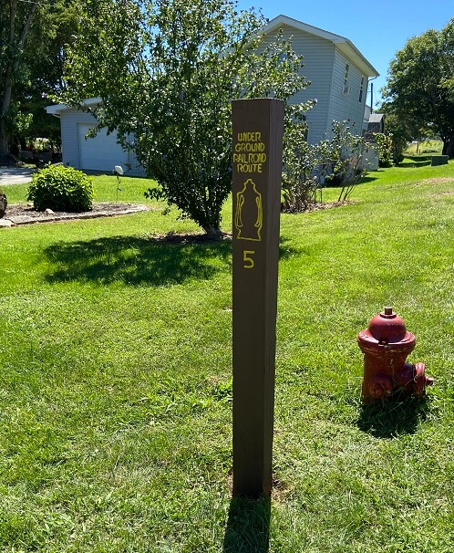
Tour Stop 5 (39° 12′ 22″ N 85° 19′ 55″ W)–Mill Pond: Thicket and Hertenstein Farm. The old mill pond was once in a depression south of Tour Stop 5. A large thicket or woods was just to the west of the mill pond on land that became the Hertenstein Farm. It is said that fugitive slaves hid in the thicket until it was night and safe to come into Napoleon and go further north.
>>Turn right onto Millhousen Road and cross U.S.421 to the east side of Napoleon. Tour Stop 6 will be located on your right at the trip meter 11.8. Park on your right as you will be continuing east on Wilson Street.
Tour Stop 6 (39° 11′ 57″ N 85° 19′ 53″ W)–Elias Conwell Home and Store: A leading citizen of Napoleon, Elias Conwell operated a large store, holding pens for cattle, horses, pigs, and a tavern at his residence here along Wilson Street. The store was located diagonally across from his residence on the corner. Conwell was wealthy and politically well-connected to Dearborn County interests and was a director of the Ohio & Mississippi Railroad and the Vevay-Brookville Turnpike. His land holdings were extensive. The residence is listed on the National Register. It is said by locals that fugitive slaves hid in the Conwell store.
>>Go to trip meter 11.9 to see Tour Stop 7 at the corner of Wilson Street and Versailles Street.
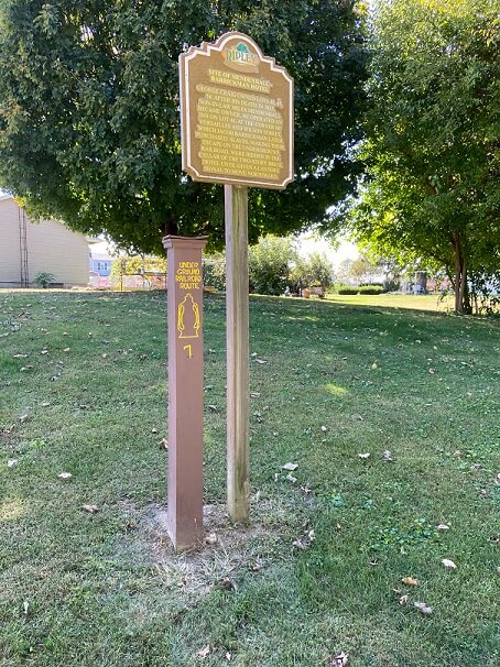
Tour Stop 7 (39° 12′ 22″ N 85° 19′ 46″ W)–Barrickman Inn: In 1823 Morton Craig built a large structure on Lot #48 at the corner of Versailles and Wilson Streets. (on your immediate right the corner lot). When Craig died in 1838 the property went to Miles Mendenhall, the Justice of the Peace in Napoleon. Mendenhall was a fellow student with Stephen Harding in Aurora. Harding was a station master in Old Milan on the North Polar Star route from Aurora to Napoleon. In 1852 Jacob Barrickman purchased the old inn and is said to have harbored runaway slaves in the cellar. Look back on your left and see the gate posts. The original Rushville Road started there, conveniently for those conducting runaway slaves from the Barrickman Inn to Decatur County.
Continue east on Wilson Street to County Road 350W at trip meter 12.1. Tour Stop 8 will be on the right as you turn left onto County Road 350W.
Not used in brochure: Tour Stop 8 –Rushville Road County Road 350W marks one of the main roads that runaway slaves used to move from safe houses in Napoleon up to McCoy’s Station, Kingston or Greensburg in Decatur County. For the most part, fugitive slaves traveled at night.
Return to U.S. 421 and go south back to Versailles.